GPS Satellite Live Earth Map
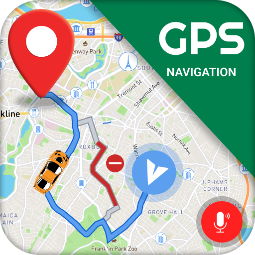
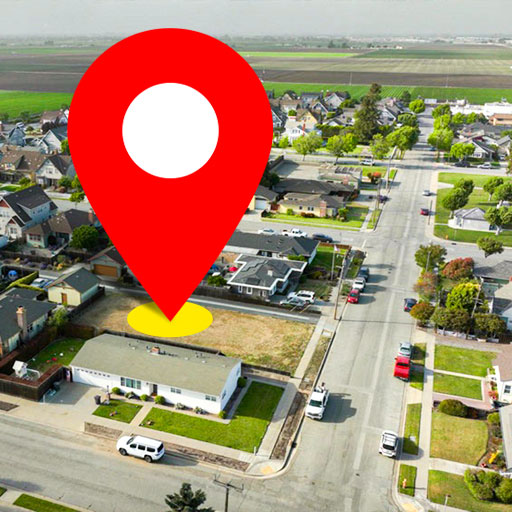
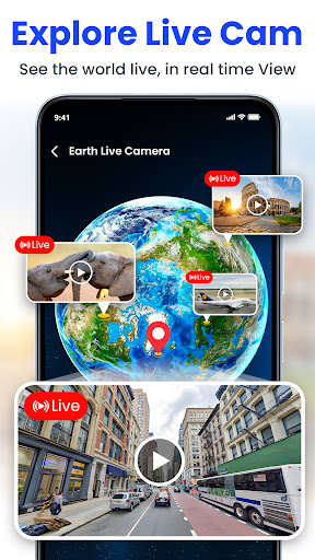
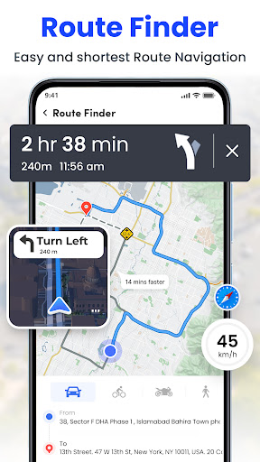
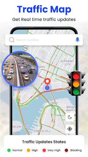
Screenshots
About GPS Satellite Live Earth Map
GPS Satellite Live Earth Map is a very practical map navigation mobile application. It mainly allows you to see real-time satellite images at any time and accurately locate. This Android application interface is quite friendly, easy to use, and has quite rich functions, improving the user experience. Whether ordinary enthusiasts want to stroll around at will or professionals need precise navigation, it can help and make exploration of the earth easier and more reliable.
Overview
core functions
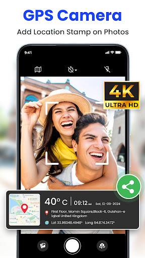
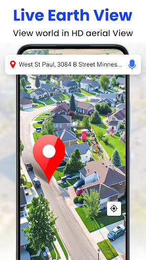
- Real-time satellite perspective brings you cool and explosive images of the earth, making navigation more accurate!
- Offline mode allows you to use maps and directions in remote areas without Internet access, making it super convenient when traveling.
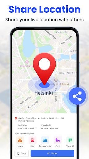
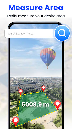
- Route planning, distance measurement, and location sharing are all available to greatly improve your travel efficiency.
- High-resolution pictures of the earth allow you to sigh while looking, making navigation intuitive and interesting.
- Support real-time GPS tracking, know where you are wherever you go, and update tracking information at any time.
- The operating interface is particularly intuitive, and it is super easy to switch layers, search for places, and locate, and it is done in a few steps.
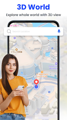
- The map can be customized and satellite layers can also be superimposed to meet the preferences of different users and make the experience more personalized!
Who is this app suitable for?
This mobile app is especially suitable for people who like to travel, love outdoor adventure, or need precise navigation at work. Whether you're hiking, driving or doing field research, this Android software can help you make your navigation experience better!
It is especially suitable for use in remote areas or offline. It provides accurate positioning and route management. It is suitable for self-driving tours, field work, etc. It is quite practical!
Why choose this app
This app combines detailed satellite imagery with powerful features, making it a super comprehensive earth imaging solution. It is particularly user-friendly to operate, suitable for users of all levels, and it is a great experience!
Choosing it means choosing an accurate, diverse and reliable navigation tool that can see real-time satellite images and use them offline. Compared with other competitors, it is simply different!
Top Recommended Alternative
Pros & Cons
Pros
- Real-time satellite tracking
- High-definition Earth Map
- Easy-to-operate interface
- Additional satellite information
- Customizable viewing method
Cons
- Limited offline functionality
- high power consumption
- Occasional data delays
- Satellite database is not comprehensive
- The interface may seem a bit complicated for newcomers
Download GPS Satellite Live Earth Map

FAQ
Is the application of this GPS satellite real-time earth map safe?+
Can I use GPS satellites to map the earth in real time without the Internet?+
What are the main functions of GPS satellite real-time earth maps?+
Does this Android app support multiple languages?+
What is the update frequency of this application?+
Can I use this GPS satellite map to draw directions?+
Is this GPS app suitable for drivers and travelers?+
This GPS satellite real-time earth map is free, right?+
You Might Also Like
More apps you may want to try next.