Live Satellite Earth Map View
Advertisement
Screenshots
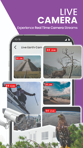
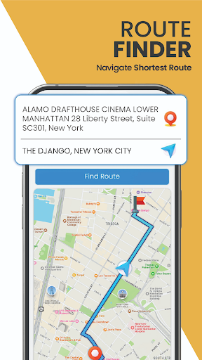
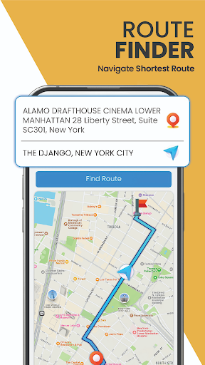
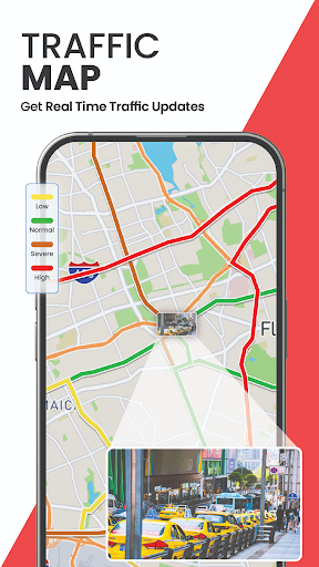
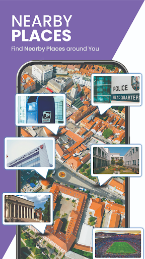
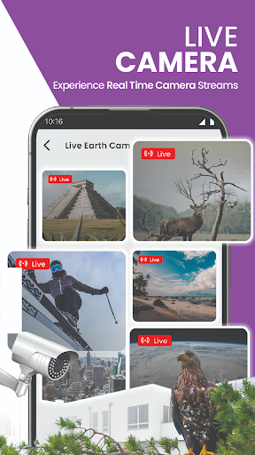
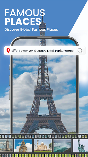
Advertisement
About Live Satellite Earth Map View
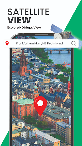
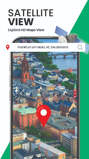
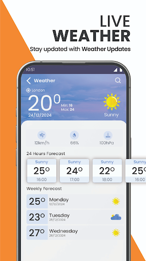
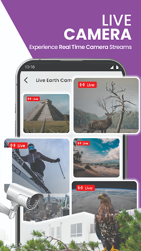
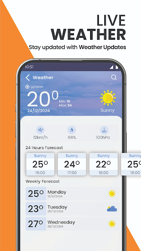
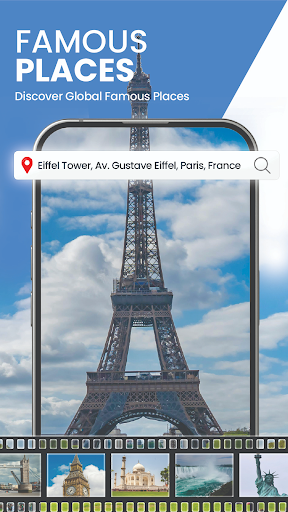
Live Satellite Earth Map View is a very interesting application. It can be regarded as a quite all-round mobile map navigation tool. It can display satellite images in real time, and also allows you to see ultra-detailed maps, giving you a particularly strong sense of experience. As a program specially designed for Android, it mainly provides friends who like maps and exploration with the latest and most accurate geographical data. It is really a reliable helper who can fix the world anytime, anywhere with your mobile phone.
Overview
core functions
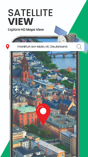
- High-definition real-time satellite images that allow you to see details of the earth on your mobile phone, which is great!
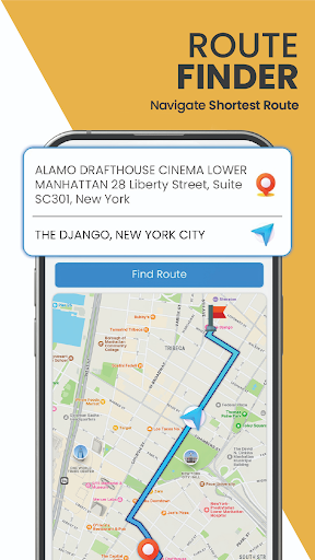
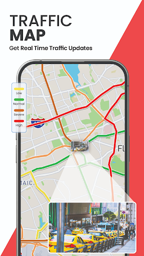
- Real-time navigation and GPS tracking features make your Android device travel super smoothly without getting lost!
- The offline mode is really considerate. You can use maps and navigation even without the Internet. It is especially suitable for exploration in remote areas.
- The interface design is intuitive and the menu is easy to find, making exploring the world easy and interesting to use.
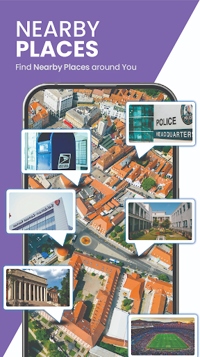
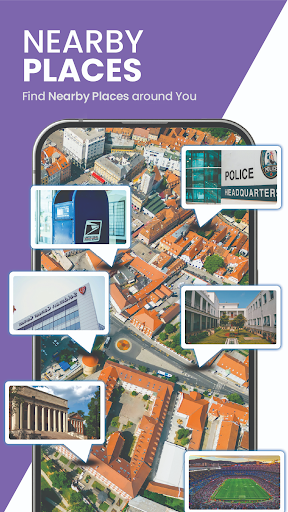
- It also supports search filtering and location sharing to help you efficiently arrange your trip and coordinate with friends.
- It is seamlessly integrated with the device's sensors and can be quickly launched directly on the home page. It's so convenient!
- Maps can also be customized, such as switching between different layers, including topographic maps and satellite maps, which is very considerate!
- Accurate GPS positioning and accurate route navigation can help you reach your destination with confidence, whether it is daily commuting or outdoor adventure!
Who is suitable for?
This app is especially suitable for outdoor explorers who like to travel and take risks, as well as drivers who need reliable navigation tools. Especially for Android users who value detailed satellite images and offline functions, they must not miss it!
Whether you're planning a road trip, hiking adventure, or simply exploring new places, this app will meet your needs and make your journey smooth and enjoyable. For those who like to be easy to use and can also view maps of satellite Earth, this is definitely what you want!
Why choose this app
What makes this Android app stand out is that it combines high-definition satellite images with powerful navigation capabilities, making it definitely the best among map apps. The interface is friendly and can be used offline. It is extremely reliable!
What's even more amazing is that it has very comprehensive functions and can bring a great experience. No matter where you are, as long as you need an accurate and reliable navigation APP, this will satisfy you. It is simply the best choice!
Top Recommended Alternative
Pros & Cons
Pros
-
It's amazing to provide detailed and clear satellite images of various locations around the world!
-
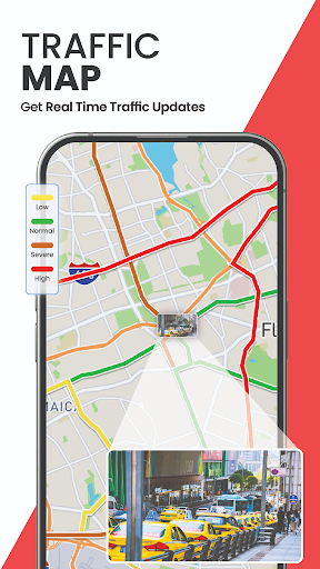
You can see what the earth looks like in real time, and you feel that the sense of interaction is much better and more reliable!
-
The interface is designed very intuitive and effortless to operate, so anyone can easily get started!
-
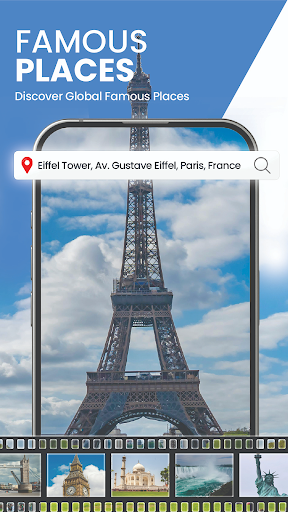
Covering almost all countries and major cities, there is no shortage of geographical information at all. It is quite comprehensive!
-
It is free for ordinary users, the threshold is low, and the promotion is really good!
Cons
-
Most functions have to be connected to the Internet, and offline mode is almost useless, which is quite limited.
-
In places where the network is not good, map loading can become particularly slow, and sometimes it can make it really anxious.
-
Satellite images in remote areas may be too old or fuzzy to see clearly, which is a bit disappointing.
-
Using real-time maps often consumes electricity, which is really distressing.
-
At present, we can only see basic maps, and we still support few overlays and customization. I look forward to more functions in the future!
Advertisement
Download Live Satellite Earth Map View
FAQ
Is Live Satellite Earth Map View easy to install on my device? +
It can be found on the Google Play Store, downloaded in seconds, and the settings are not complicated.
As long as your device meets the basic requirements and has enough storage space, the boot process of this app is super simple and can help you easily get it done. Almost all experience levels can get started quickly. It is a very thoughtful design.
What are the main functions of Live Satellite Earth Map View app? +
It can also help you navigate, which is especially suitable for going out to play or exploring unfamiliar places.
Moreover, the high-definition images and smooth map switching experience make you feel closer to the map data, making it particularly smooth to use. These features make it a trusted helper for friends who like outdoor exploration and navigation.
Is Live Satellite Earth Map View safe to use? Will my location data be leaked? +
The app strictly adheres to privacy standards and only collects location information necessary to complete core functions. Your data is safe and will never be disclosed to third parties without your consent.
As a trusted application in the map and navigation categories, it has gone through many security inspections and user evaluations, and its reliability is still guaranteed. Use it to navigate or use satellite images to explore the earth is safe and secure.
Can I use Live Satellite Earth Map View offline? Can I not use the Internet? +
This allows it to be used smoothly and conveniently in remote areas.
If you plan to use it without using the Internet, it is very important to download offline maps in advance, so that you can use it seamlessly outdoors or in remote places, and the experience will not be bad, worry-free and practical.
+
It is best to ensure that the device has enough memory and storage space before using it. Now that the functions of modern smartphones are used, the experience will be better. This app is quite reliable in supporting modern mobile phones, with stable navigation and satellite views.
+
This is important for people who rely on real-time information for navigation or outdoor activities.
It can also provide high-quality satellite images to enhance the overall experience. The application-based solution allows you to obtain the latest visual data directly on the device, and the geographical information is very reliable.
+
If you encounter problems, you can try upgrading the device software or reinstalling the application. Developers will continue to update it to improve stability, security and ease of use. Overall, it is still very trustworthy.
+
The characteristics of real-time satellite images make outdoor adventure and travel more interesting and intuitive.
Although there are other similar apps on the market, it combines high accuracy, easy operation and offline functions. It is a more reliable and worry-free solution to use, and the geographical information is also very detailed.
Customer Reviews
Users generally appreciate the app's user-friendly interface and find it interesting for educational or real estate purposes, with some praising its smooth experience. However, significant concerns are raised. Regarding live imagery: although the app is marketed as "live," many users report that satellite views are several years old and not real-time. In terms of accuracy: while some users find the location tracking reliable, others complain it fails to show correct locations or displays blank white images. The ad experience is heavily criticized for excessive advertisements that hinder usability. Functionality divides opinions: a minority finds it useful, but a majority describe it as completely useless, non-functional, or merely showing pre-recorded content.
Write a Review
Share your experience with Live Satellite Earth Map View. Submissions are reviewed before publishing.
You Might Also Like
More apps you may want to try next.